


May 23 , 2026
By Carlos Lopes , Selma M. Haddadi
For generations, educational institutions worldwide have reproduced inaccurate geographic representations, embedding distorted worldviews within global school curricula through the prolonged use of outdated map models. Because flat maps cannot represent a spherical Earth without mathematical compromises, the selection of which distortions to tolerate is an educational and structural choice. Correcting these deep-seated distortions ensures that future generations of students develop a more accurate mental map of global geography, regardless of their location.
Maps are never neutral. They are instruments of knowledge, yes, but also of power, ideology, and often manipulation. Nowhere is this more evident than in the depiction of Africa.
For centuries, the Mercator projection, still ubiquitous in classrooms, media, and digital platforms, has misrepresented Africa's true scale, making one of the world's largest landmasses appear deceptively small. At more than 30 million square kilometres, Africa is larger than the United States, China, India, and much of Europe combined. Yet on most maps, it appears comparable in size to Greenland, a landmass that is 14 times smaller.
Far from a harmless visual inconsistency, that distortion has long shaped narratives about Africa's significance, resources, and potential.
A global initiative, Correct the Map, seeks to address this imbalance, not merely by adjusting cartographic conventions, but by challenging the deeper distortions that shape how the world sees Africa, and how Africa sees itself.
The Mercator projection, developed by the Flemish geographer Gerardus Mercator in 1569, was designed for maritime navigation but distorts scale, especially farther from the equator. In an age of satellite imagery, advanced geospatial technologies, and digital mapping, we are no longer constrained by the technical limitations that once justified such compromises. As scholars have observed, we are approaching a "digital inflexion point" at which accuracy is no longer optional.
But this is not only a scientific issue. It is also a political one. Perception shapes policy, and a continent repeatedly represented as smaller than it truly is risks appearing less important economically, strategically, and culturally, with far-reaching implications for investment decisions, international negotiations, and global governance.
Younger generations across Africa already recognise that the continent, home to more than 1.4 billion people and some of the world's fastest-growing economies, cannot afford to be visually minimised. Less encumbered by inherited colonial frameworks and more comfortable navigating multiple cultural and intellectual registers, they are driving a shift toward an Africa that is neither insular nor reactive, but increasingly self-defined.
Against this backdrop, the African Union's (AU) decision to endorse the "Correct the Map" initiative in 2025 was a watershed moment, reflecting a collective recognition that representation matters, not merely as a symbolic gesture, but as a question of fairness. By advocating the adoption of maps that reflect Africa's true size within international institutions, including the United Nations (UN), African leaders are asserting a simple yet powerful principle that representation should be grounded in reality.
A clearer understanding of Africa's real scale would transform how the world, such as investors, policymakers, and global partners, views its economic geography and infrastructure. When the continent is visually compressed, so too are perceptions of its reach, connectivity, and strategic importance.
Trade is a case in point. From the Suez Canal to the strategic passages around the Cape of Good Hope, the continent is connected to some of the world's most important maritime corridors. Its coastline stretches over 30,000Km, supporting fisheries, maritime transport, offshore energy, and critical ecosystems that together form what is arguably the planet's largest and least-developed blue economy. Beneath these waters lies another largely invisible yet essential form of infrastructure. There is a dense network of submarine cables that underpins much of the global digital economy.
There is also a cultural dimension to the "Correct the Map" initiative. For generations, educational systems around the world have reproduced inaccurate geographic representations of Africa. Correcting these distortions is an investment in ensuring that future generations, whether in Accra, Amsterdam, or Seoul, grow up with a more accurate mental map of the world they inhabit.
To be sure, all maps involve some degree of distortion. No flat representation of a spherical Earth can ever be perfect. But that is no justification for inaction. Rather, it is a reason to make more responsible choices. When better alternatives exist, it becomes difficult to justify retaining models that systematically misrepresent entire regions.
The momentum behind "Correct the Map" reflects a broader global shift. In an interconnected world in which information moves rapidly and decisions are increasingly data-driven, there is little tolerance for inherited inaccuracies. The goal is not to rewrite history, but to update the tools through which we understand the present. At its core, the campaign is also about dignity. Africa's story has repeatedly been told from a perspective that diminished the continent's scale and Africans' agency. Correcting the map would be an important first step toward engaging with the continent on its own terms.
Governments, international organisations, educational institutions, and technology companies should work together to adopt more accurate map projections. This is neither technically complex nor prohibitively expensive, yet the consequences of such a change could be profound.
Maps, after all, are never only about representations of space. They also reflect how we see one another and should, therefore, reflect the world as it truly is. Africa does not need to be enlarged. It needs, at long last, to be seen.
PUBLISHED ON
May 23,2026 [ VOL
27 , NO
1360]
Viewpoints | Oct 18,2025
Commentaries | Apr 10,2026
Fortune News | May 27,2026

Editorial | Jan 03,2026

Exclusive Interviews | Jun 07,2026
Photo Gallery | 191995 Views | May 06,2019
Photo Gallery | 181748 Views | Apr 26,2019
Photo Gallery | 178479 Views | Oct 06,2021
My Opinion | 144012 Views | Aug 14,2021

Dec 22 , 2024 . By TIZITA SHEWAFERAW
Charged with transforming colossal state-owned enterprises into modern and competitiv...
Aug 18 , 2024 . By AKSAH ITALO
Although predictable Yonas Zerihun's job in the ride-hailing service is not immune to...
Jul 28 , 2024 . By TIZITA SHEWAFERAW
Unhabitual, perhaps too many, Samuel Gebreyohannes, 38, used to occasionally enjoy a couple of beers at breakfast. However, he recently swit...
Jul 13 , 2024 . By AKSAH ITALO
Investors who rely on tractors, trucks, and field vehicles for commuting, transporting commodities, and f...
Jul 25 , 2026
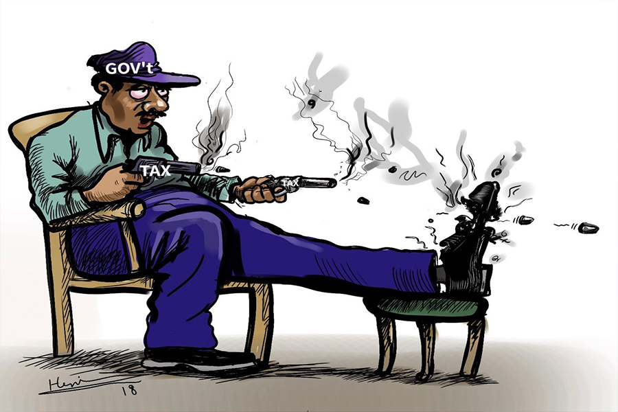
Ideally, citizens who have paid income tax all year should not have to reach for thei...
Jul 18 , 2026
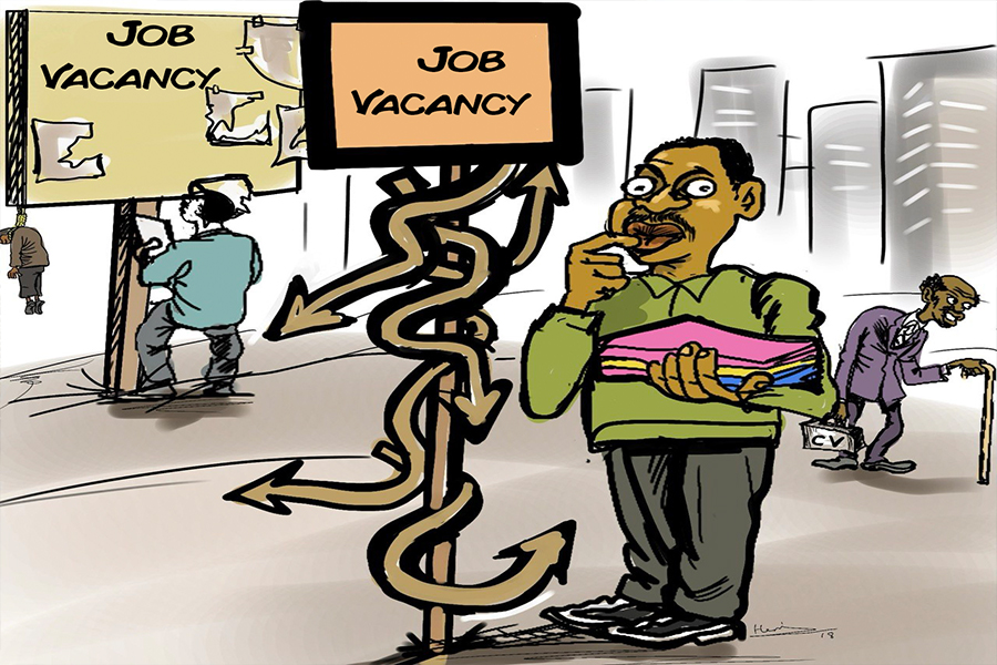
Pressed in Parliament on jobs and household incomes, Prime Minister Abiy Ahmed (PhD)...
Jul 11 , 2026
At a market stall, reform arrives without a communique. It comes as a higher transpor...
Jul 4 , 2026
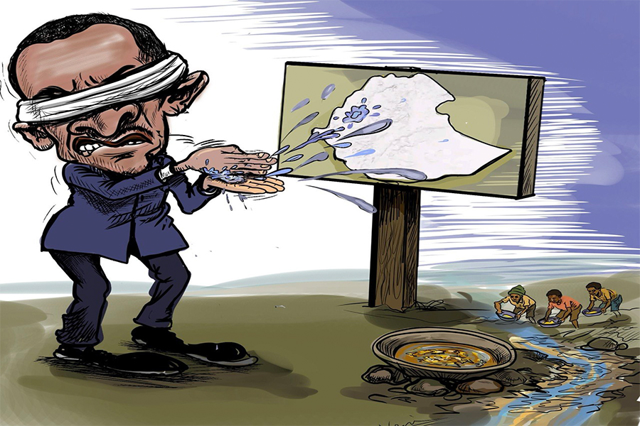
In the goldfields of the Benishangul-Gumuz Regional State, Ethiopia's balance-of-paym...
Jul 25 , 2026 . By BEZAWIT HULUAGER
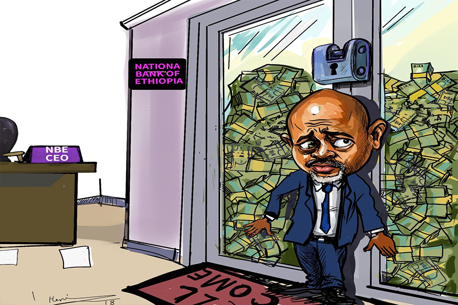
Global Bank's Board of Directors have overhauled top management, after suspending sev...

Jul 25 , 2026 . By NAHOM AYELE
Judges at the Federal High Court have overturned the National Lottery Administration...
A newly enacted regulation by the Council of Ministers lets eligible producers pledge...
Jul 25 , 2026 . By FITSUM TADESSE
A fuel tanker carrying tens of thousands of litres was confiscated after its driver a...


 Loading your updates...